Beverley and Barmston Drain
Clough Road
History and origins
Clough Road and the village of Newland
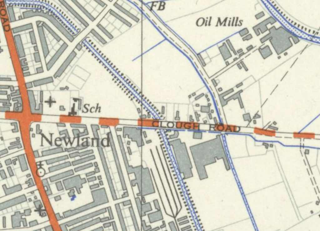
Originally Clough Road was the high street of the village of Newland, a distinct settlement that has since been incorporated into the city of Hull. The area was industrialised long before it became part of the city and in 1892 to the west of the Clough Road bridge was a pottery and the Kingston Stone Bottle Works.
The name and the watercourses
The Clough, Newland Beck and the drains
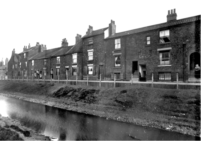
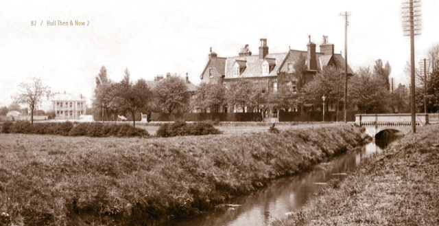
Clough Road (earlier, Newland Clough Road) is named after the “clow” or “clough” (sluice), at the outfall of the Cottingham and Newland Beck into the River Hull. The beck used to run in the open along the south side of Clough Road and crossed over both Beverley and Barmston and the smaller Beverley and Skidby Drain on aqueducts, eventually emptying into the river just south of Clough Road bridge.
Changing drainage systems
The filling in of Hull’s open drains
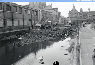
During the early and mid-20th century, regular flooding events in certain parts of Hull (notably the Old Town areas) resulted in an extensive redesign of Hull’s drainage system. In the 1950s, 1960s and 1970s, the open drains were largely filled in or replaced with large gravity-fed combined effluent and storm water sewers leading to upgraded pumping stations in West and East Hull. The Newland and Cottingham Beck now stops at the Hall Road Main Sewer and the section along Clough Road has been filled in.
Evidence of the former waterways
What remains of the Barmston Drain aqueduct
All that remains of the Barmston Drain aqueduct can be seen as a slab of concrete next to the bridge on the far bank of the drain. The wide grassed area between the Clough Road footpath and the car park is where the beck used to flow past here.
Explore the Clough Road trail
Follow the Clough Road trail to discover more about the history and drainage features of this part of Hull.
Clough Road Trail Map →Project Partners
Hull’s Dynamic Drains is led by the Environment Agency and delivered in partnership with Hull City Council , Groundwork Yorkshire and Yorkshire Wildlife Trust .